As soon as pixel-wise calculation completes, the results are available on the Parametric Maps page. Initially, it shows the map of the first fitted model parameter. If multiple parameters have the fit check enabled, the corresponding maps are organized as separate studies and can be switched using the controls in the upper right.

The following actions are supported on this page:
 button and extend it with the >> button. Click at different pixels to get the numbers updated.
Output Data Settings
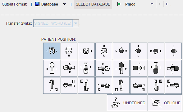
This button is mainly used to specify the output data format for the batch mode. Note that when maps are interactively saved the existing configuration is overwritten by the format used.

How To Continue
Proceed to explore the parametric maps with the fusion tools by activating the Compare button.